objects
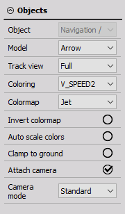
Within the Object settings, we can:
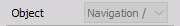
* Define our linked GPS data, by selecting the proper navigational channel if you have many (ex: LIDAR data and GPS data).
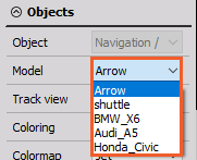
- Select the wanted 3D model, from the drop-down list of already loaded models.
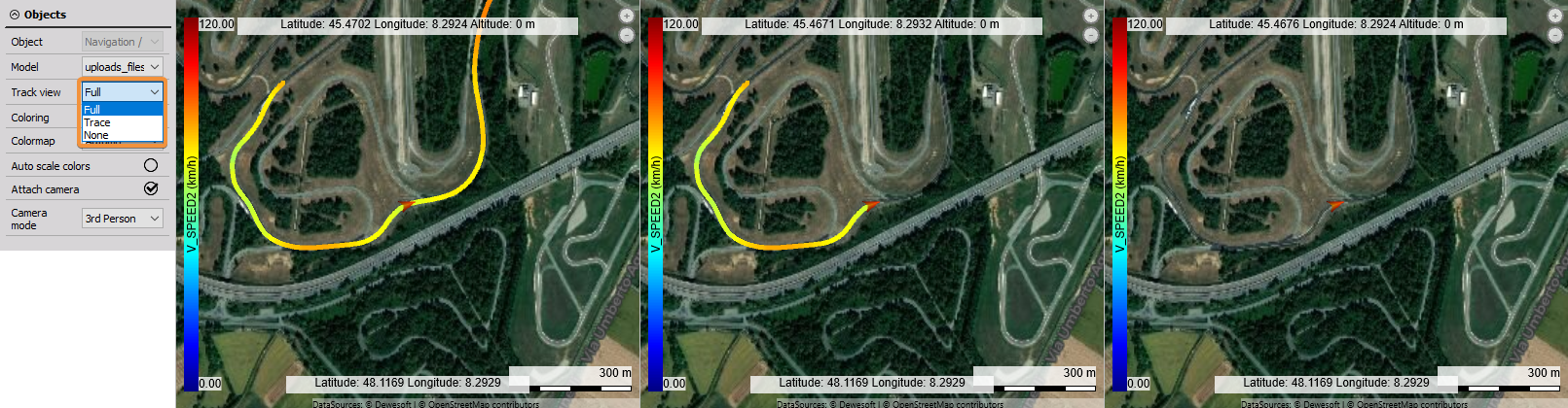
- Select the Track view, between:
- Full
- Trace
- None
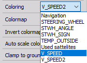
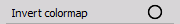
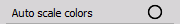
- From the Coloring drop-down list, you can select a channel from which the coloring of the map will be related. The chosen channel will be written in the color indicator on the left side of the map - Scale. From the Colormap drop-down menu, you can choose a different color pallet. There is also a radio button for autoscale colors of the path.
- Every object can be ‘clamped’ to the ground with the Clamp to ground option, regardless of its altitude data, which enables simple positioning of the object to the map ground.
- There is an additional radio button for Attaching the camera. When enabled the map will be focused on the current position and the map position can not be moved manually. When you disable this option you can freely move the map position inside the widget.
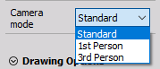
- The last option in the Object settings in Camera mode. From the drop-down menu, you can select how will the map be presented. You can choose the standard view, 1st person perspective, and 3rd person perspective.